
Firms to learn about Earth Observation opportunities
One of the greatest tools businesses and governments have at their disposal to better understand and utilise the Earth’s natural resources in a sustainable way will be discussed by experts at a free event in Leicester.
Earth Observation uses remote sensing technologies to monitor the Earth and its atmosphere with satellites in space to enable organisations to understand its changing environment so they can develop informed environmental policies and respond to natural disasters.
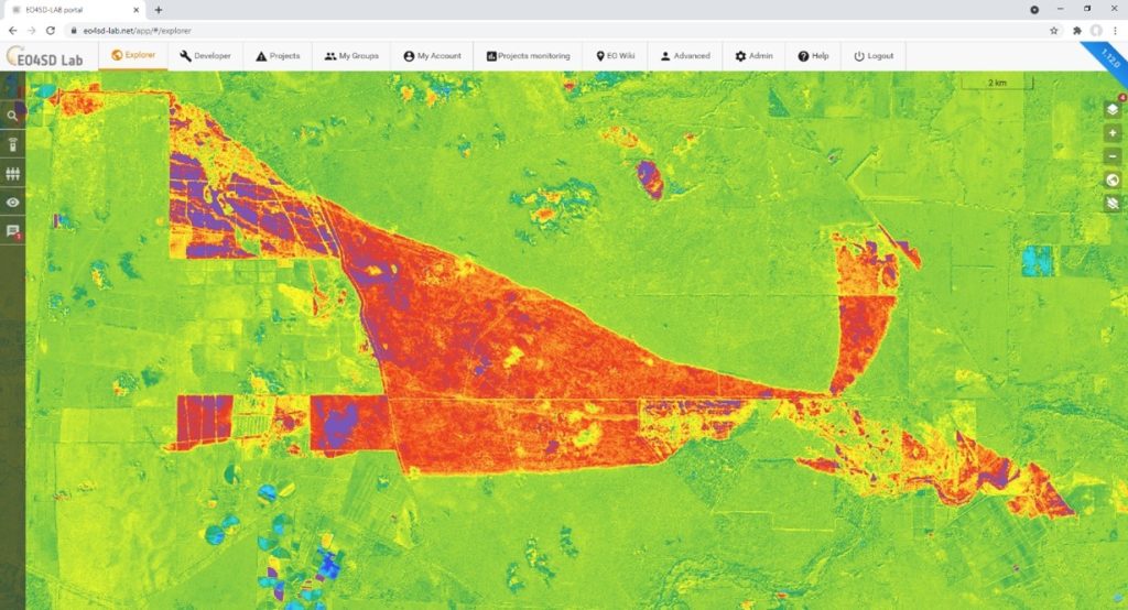
The University of Leicester’s pioneering £100 million hub science and innovation park, Space Park Leicester, is a community of world-leading space and Earth observation experts, including CGI which has developed the ground-breaking cloud-based CGI GeoData360 platform which manages and distributes large volumes of Earth Observation and Geospatial data.
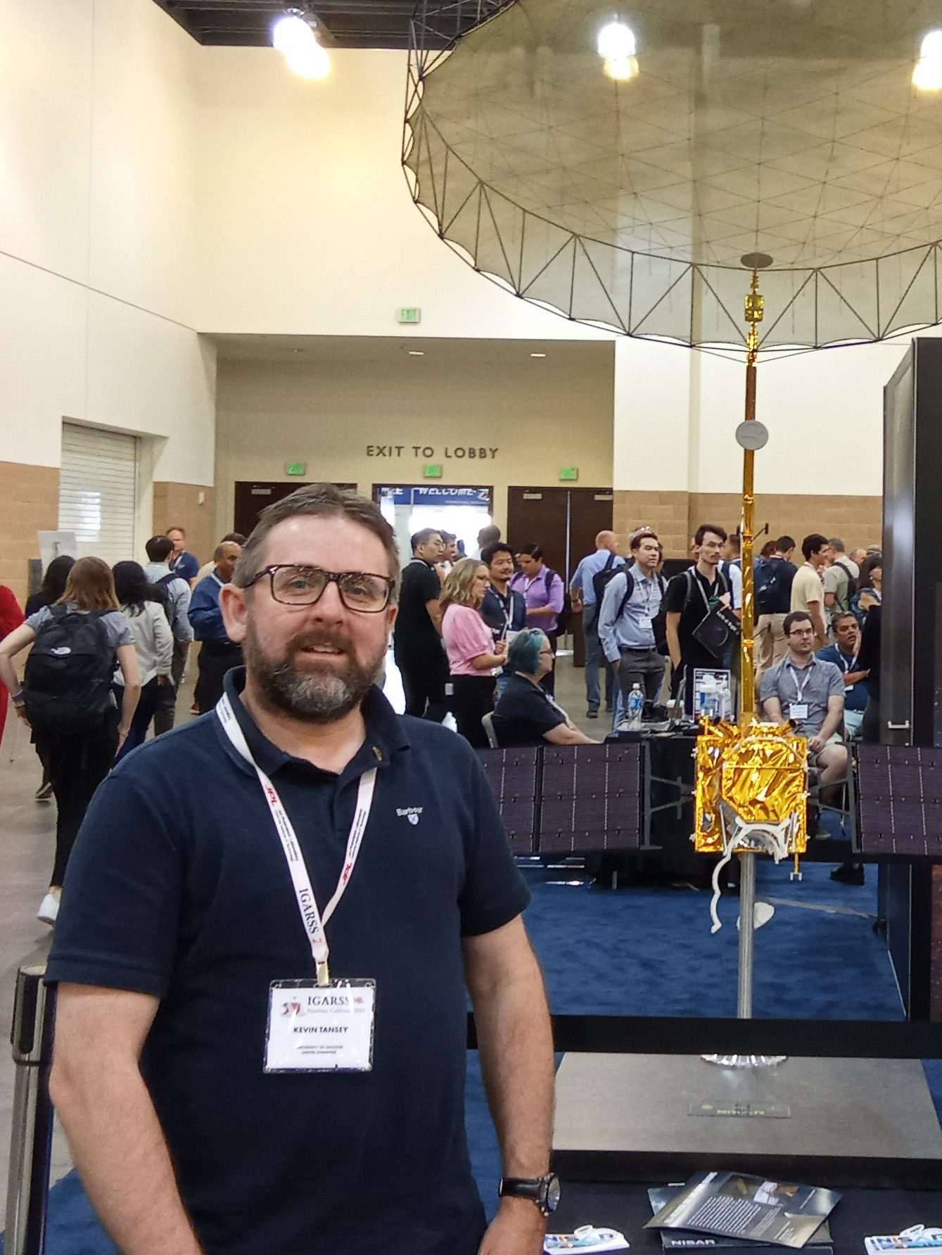
To help people better understand opportunities with satellite data, CGI Space Data Platforms Lead Software Engineer Peter Van Zetten and Kevin Tansey, Professor of Remote Sensing at Space Park Leicester, will deliver a talk on Building Pipelines of Earth Observation Services at Space Park Leicester from 2pm on Wednesday, October 25, as part of the free Space Park Conversations series.
Professor Tansey said: “Earth Observation data is fundamental to tackling many of today’s issues relating to climate change and contributing to sustainable environment futures.
“In this talk we’ll share our experiences and insights on the challenges and opportunities in building pipelines of Earth Observation services.
“It will be of particular interest to anyone who wants to understand how Earth Observation data can be translated through scientific research science into information services that can be used by businesses or their customers.”
The talk will cover a range of topics including understanding who the users of Earth Observation are and what their requirements might be, how to protect intellectual property and operate Earth Observation services and how to obtain user feedback.

Earth Observation data from satellites can be used to monitor things like wildfires, floods, sea grass and coral reefs, coastal erosion, atmospheric chemistry and land usage.
Users of such data range from scientists to governments, meteorologists, forecasters, insurers, geologists, urban and transport planners and defence organisations to name a few.
Getting to grips with huge quantities of raw satellite Earth Observation data and turn it into meaningful, actionable insight is where CGI comes in.
CGI Space Data Platforms Lead Software Engineer Peter Van Zetten said: “We are one of the world’s largest IT and business consulting services companies with deep expertise in data processing and developing data-enabled services.
“We help turn Earth Observation data into information that organisations can trust and act upon.”
Space Park Leicester and CGI have worked together on several projects to develop Earth Observation services with funding from Research England (SPRINT) and the European Space Agency.
CGI GeoData360 is now used across teaching and research activities at the University of Leicester to build a pipeline of prototype services and develop important skills, such as cloud processing, business development and stakeholder communications, in the student cohort.
The Building Pipelines of Earth Observation Services talk will take place at Space Park Leicester from 2pm on Wednesday, October 25. To book a free place search Eventbrite for Space Park Leicester or go to https://shorturl.at/sFNQR.
For more information about the University of Leicester visit https://le.ac.uk/about. To find out more about CGI, go to https://www.cgi.com/uk.