Newsletter Sign up newsletter signup
Title Image

Drone Services

Available at Space Park Leicester

Our state of the art platforms at Space Park Leicester, funded initially by the Natural Environment Research Council (NERC) and the National Centre for Earth Observation (NCEO), can support your R&D needs for all aspects of Remotely Piloted Aircraft Systems (RPAS) related deployments

Contact our team at innovate@space-park.co.uk to discuss your project requirements and receive a personalised quote.

Key Capabilities

  • Surveying: Complete workflows from deployment to processing of sensor systems and flight planning to permissions, expertise is on hand can help
  • Custom Payload Integration: We can leverage the 3D print services, and precision manufacturing to integrate your sensor systems into RPAS platforms
  • Heavy payload deployments: RPAS platforms are available which have the highest take-off weight limits currently allowed.
Drone Lab

Equipment

  • DJI Matrice 300 RTK: Capable of carrying up to 3 kgs of payload, and with 55 minutes of flight time, this platform can survey large areas, at high resolution in short time scales
  • Matrice 300 Sensor Systems: Zenmuse L1 Lidar, Zenmuse H20T Thermal Imager, Zenmuse P1 High resolution full frame camera, Micasense RedEdge Duel 10-band Multispectral imager
  • DJI RTK Ground Station: Flights with DJI Enterprise systems can be flown with RTK enabled, improving the accuracy of on-board GPS to centimetre levels of precision
  • DJI Mavic 3 Multispectral: An all in one system incorporating a 4 band multispectral imager along with a conventional RGB imager, and up to 200 hectares per flight, this RPAS can provide the data for your agricultural needs
  • Heavy Lift Platforms: For larger payloads, we have 4, 6 and 8 rotor VTOL RPAS with payload capacities of 12, 18 and 24 kg respectively, powered by Pixhawk flight controllers, for unmatched customisability.

Software & Computing

  • DJI TERRA: Photogrammetry software for 3D model reconstruction for applications such as land surveying and mapping, power transmission, emergency services, construction, transportation, and agriculture
  • PIX4Dmapper: Photogrammetry software which delivers high-resolution 2D maps and 3D models.
  • Toughbook: For use under the most extreme conditions, the Drone lab Toughbook can be used to ensure smooth deployments
  • Desktop PC: Equipped with a Nvidia 3070 graphics card and 80 GB of Memory, this PC makes light work of large image datasets.
PXL_20221027_135832987.MP

In house expertise

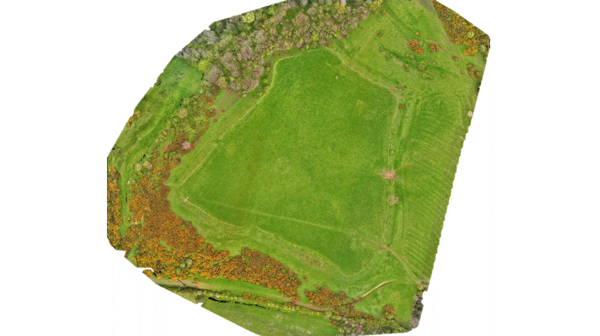
Our in house expert, Dr Steven Lloyd has a decade of experience with deploying RPAS in a variety of environments, here in the UK and abroad. He is fully qualified  including both GVC and A2CofC licences, and has a background in Electrical and Electronics Engineering, sensor deployments on RPAS (hydrophones, IMU, camera systems etc.) and integration.

Why Choose Space Park Leicester?

Space Park Leicester, part of the University of Leicester, is a centre for space innovation, bringing together experts, researchers, and cutting-edge resources through its world-class facilities. We proudly support the space industry, research organisations, SMEs, and educational institutions.

View facilities & services for hire

How to Access Our Remotely Piloted Aircraft Systems (RPAS) Services

Contact our team at innovate@space-park.co.uk to discuss your project requirements and receive a personalised quote.