19/05/2026
UK plays leading role as landmark mission launches to unlock secrets of Earth’s magnetic shield
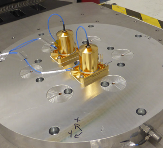
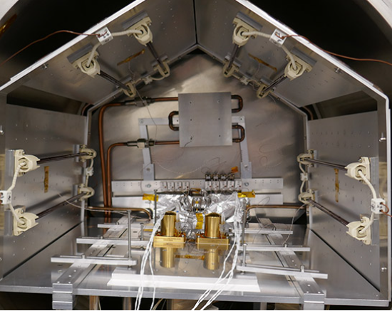
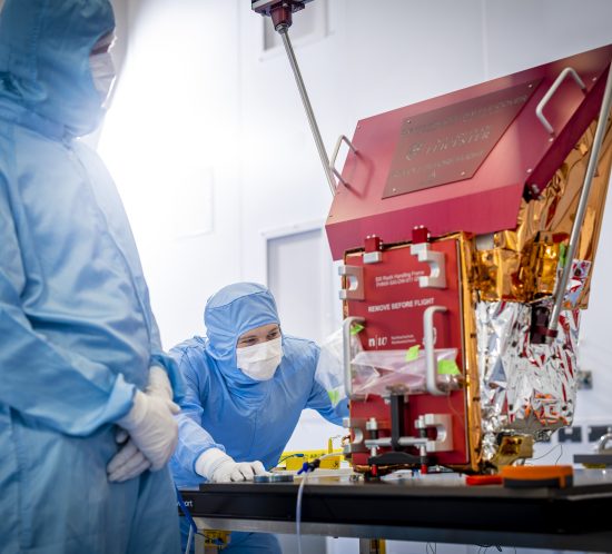
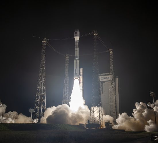
Space Park Leicester scientists and partners are at the heart of a pioneering mission, launched into orbit today, that will transform our understanding of how Earth is protected from the Sun.