


International project using tech to support rural communities uses Leicester digital twin expertise
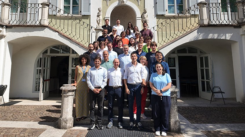
University of Leicester scientists joined organisations from eight countries in Trento, Italy, to launch a new project helping rural areas address the transition toward sustainability and resilience in key sectors such as agriculture and forestry.
Studying technologies that help European rural communities become more sustainable both economically and socially: this is the goal of TERRAE, a new European project that brings together seventeen organizations from eight countries. Five pilot regions will test new digital tools.
Rural areas are particularly exposed to some of the major transformations of our time. Population decline and aging are accompanied, in many areas, by a lack of infrastructure and services. These challenges are compounded by the effects of climate change and recent environmental and social crises, which also affect activities that are fundamental to the economy and the lives of communities, such as agriculture, forest management, and workforce availability.
TERRAE aims to use technology to support these communities, helping them learn more about their local area, predict possible changes, and assess the effects of different choices in advance.
A key innovation of the project is the creation of a digital representation of rural areas through a digital twin capable of bringing together information about the environment and the local area with data relating to people, the economy, and society.
Thanks to the data collected, combined with artificial intelligence and 3D representations, it will be possible to observe different phenomena and understand how they influence one another. The information may concern, for example, vegetation, water, soil characteristics, roads, and buildings, as well as workforce availability, economic activities, and people’s behaviours.
In this way, it will be possible not only to describe what is happening but also to envision and compare future scenarios. Administrators, operators, and communities will be able to assess the potential consequences of a particular choice before putting it into practice. A digital platform will allow users to explore this information through intuitive, three-dimensional representations of the territory.
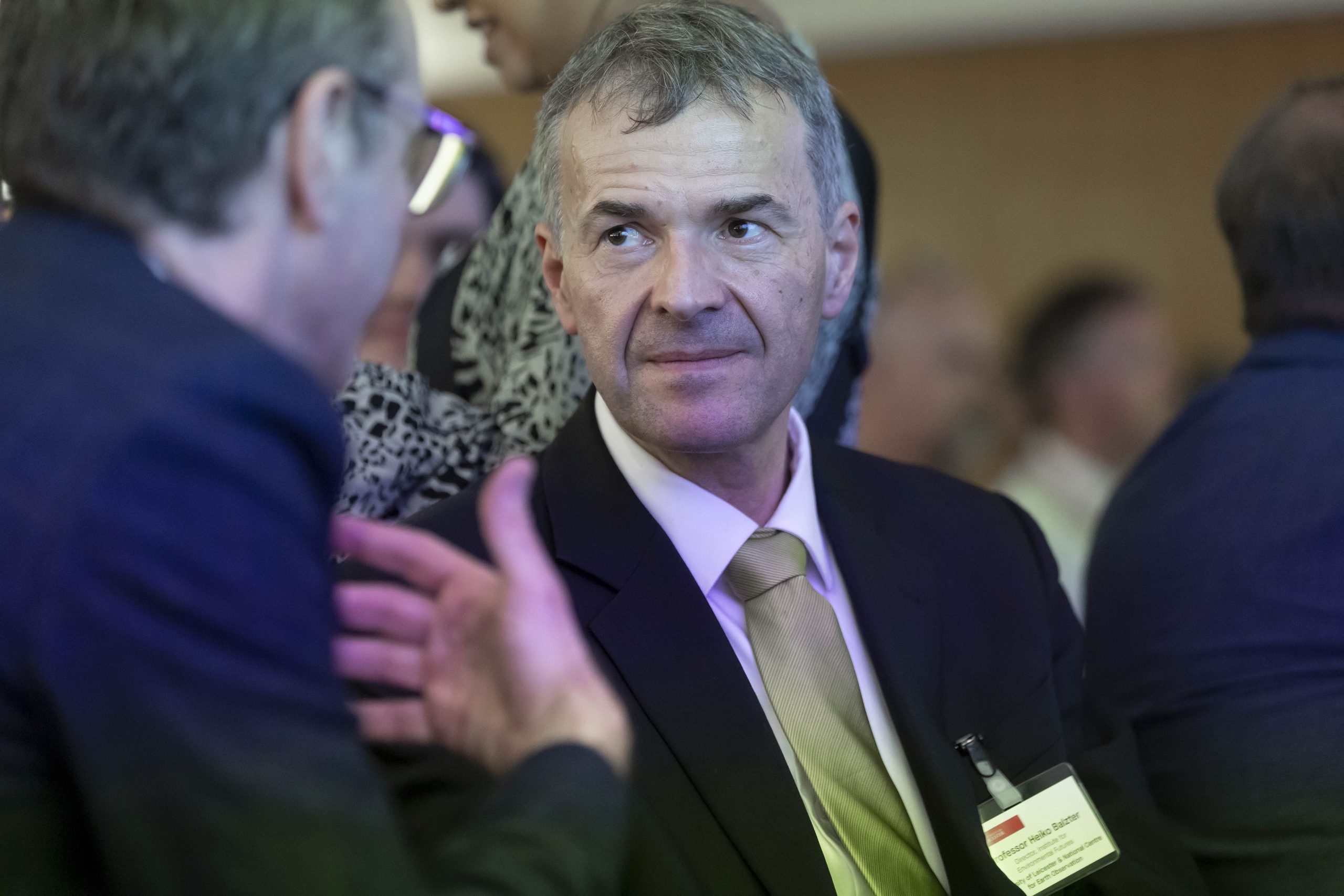
Professor Heiko Balzter, Director of the University of Leicester Institute for Environmental Futures, said:

“The University of Leicester has a key role to play in this exciting new project. Our team is leading the development and testing of the new digital twins in collaboration with partners from all across Europe.

Our work builds on several successful UK-funded grants that have pioneered this technology in the UK. My colleague Professor Ashiq Anjum is an expert in Computer Science and I contribute the Earth observation and environmental expertise to this work.”
Professor Ashiq Anjum from the School of Computing and Mathematical Sciences said: “Our research on self-learning digital twins at the University of Leicester has gained significant momentum through a pioneering application aimed at supporting sustainable rural communities. In collaboration with our European partners, we have secured this grant to deploy the self-learning digital twins we have developed across six regions in Europe, helping communities make informed decisions about sustainable practices. Professor Heiko Balzter and I initiated this work three years ago, and it is now delivering tangible impact through a growing range of real-world applications in climate modelling, environmental management, and the transition to net zero. This project represents an important milestone in demonstrating how advanced digital twin technologies can support more sustainable and resilient communities across Europe.”
The solutions developed by TERRAE will be tested in five European rural regions, chosen to represent very different environmental, geographical, and social conditions in Spain, England, Italy, Slovenia, and Greece.
The pilot regions will therefore include mountain, forest, and coastal areas, with different climatic conditions and geographical characteristics. The communities involved will also differ in terms of size, degree of isolation, and level of digitalisation.
Each area will focus on specific problems related to agriculture or forest management. Local communities and stakeholders will be directly involved in the testing process so that the tools developed address real needs.
TERRAE brings together seventeen organizations from eight countries, with different skills and areas of expertise.
The consortium includes seven universities and research centers, four small and medium-sized enterprises, two civil society organizations, three public administrations, and a European network for local development.
It includes Fondazione Bruno Kessler as coordinator, the University of Deusto, the Institute for Research on Rural Development (IFLS), the Centre for Ecological Research and Forestry Applications (CREAF), the University of Leicester, the Agricultural University of Athens, and the University of Ljubljana, together with the companies Q-PLAN, ICONS, FBA, and FBC; the organizations NILEAS and FENLAND; the public administrations involved (the Autonomous Province of Trento, the Spanish municipality of Àger, and the Slovenian municipality of Črna na Koroškem); and the European Association for Innovation in Local Development.
The involvement of researchers, companies, administrations, and representatives of civil society will make it possible to combine scientific and technological knowledge with the practical experience of those who live, work, and make decisions in rural areas.
To explore Space Park Leicester partnerships, missions, residents, facilities, training programmes and innovation products, visit space-park.co.uk or to learn more about the University of Leicester visit le.ac.uk/.
Main image: Luke Jerram’s Gaia artwork, commissioned by CGI, at Space Park Leicester
Explore More Stories
- International project using tech to support rural communities uses Leicester digital twin expertise
- Discover how to access free satellite imagery and Earth Observation data at Space Park Leicester Planet Day
- Time is running out to sign up for NASA-proven leadership training at Space Park Leicester
- Leicester experts involved in international project to strengthen climate research and education in Africa
- Leicester conference will empower the next generation of space professionals